This is a five-day trek in the High Atlas Mountains of Morocco. We trek through lovely scenes along the valleys. The course takes us through bright Berber villages and over pleasant mountain passes.
The trek will be upheld by a Berber group including a mountain guide, a cook and muleteers for luggage.
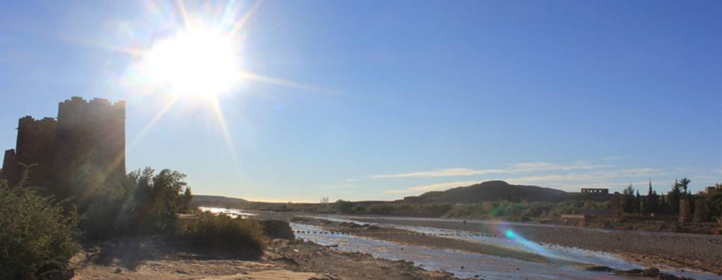
The evenings will be spent in the gites (Berber homes).
We leave Marrakesh early, heading to Imi Oughlad (1,450m), where we meet the muleteers and the guide. Our first day will be a less demanding 4 hours acclimatization walking trek in the Ouirgane National Park. The territory here includes copper green soil and juniper trees. The night will be spent in a Gite in Tinzert, a little natural Berber Village.
It is a mobile trek of around 6 hours, through which we head up and out of the valley and navigate over to the stunning Azzaden Valley. The views open up with a rushing mountain stream surrounded by rich walnut groves leading up towards Toubkal and her sister peaks at the head of the Valley. The night will be spent in a Gite in Ait Aissa village.
Today includes a mobile trek taking around 6 hours. We begin by moving out of the Azzadene Valley, heading up the valley towards Tizi Oussem, then to the pass Tizi n Mzik (2489m) before sliding down into Imlil. Medium-term in Dar Adrar Gueshouse.
We walk along the Mizane Valley, first towards the village of Aremd, the largest village providing an intriguing blend of traditional terraced cultivating, gites and lanes. For ages, the local Berber villagers have worked these terrains, delivering corn, potatoes and walnut. Leaving Armed, we proceed with eastwards walking to Sidi Chamarouch, which is simply under somewhere between Imlil and the Toubkal Refuge. From here the trail keeps on hiking consistently, winding and crisscrossing its way up to the snowline and the Refuge (3206m). The last mentioned, where we spend the night, is arranged quickly underneath the western flank of Jebel Toubkal. The trek takes about 5hrs.
Today, we get up early to climb Toubkal, the most astounding mountain in North Africa and one of the great touristic puts in Moroccan High Atlas Mountains. Pliny, the incomparable Roman researcher, when portrayed the High Atlas Mountains as “the most astounding mountains in all of Africa”. We cross the stream over the refuge and after that head over one of the mountainous screen areas, which makes the walk very troublesome in parts. However, it is moderately clear and the views along the way make the adventure more than beneficial. Cresting the ridgeline, we
end up on the plateau, from where it is a short walk to the summit. From here, there are unrestricted views toward each path, from the Marrakesh Plain to the High Atlas in the north and as far south as the Anti-Atlas and the Sahara. Retracing our steps, we then return down the mountain and head back towards Imlil, from where we drive back to Marrakech.
Note: Itinerary is only a rule and subject to change to suit local condition.